Southern Malvern Hills
On 16 June 2010 members of the Malvern U3A geology group met to undertake a field trip to the Southern end of the Malvern Hills, led by Heather and David Hayward.
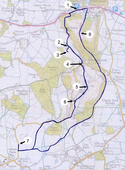
This was a circular walk starting from the Eastnor Estate car park at Hollybush (Explorer map 190, grid reference SO 759 369, location 1 on the map). The outward route followed part of the Geopark Way (section 13) between Hollybush and the Bromesberrow Estate. The return route went over Ragged Stone Hill.
The Geopark Way book is produced by the local Earth Heritage Trust. You can purchase it from Herefordshire and Worcestershire Earth Heritage Trust; Geological Records Centre; University of Worcester; Henwick Grove; Worcester WR2 6AJ (01905 855184).
Walk details
The distance walked was about 5½ miles. There was a short, steep climb up to the summit of Chase End Hill and a similarly steep climb up to the summit of Ragged Stone Hill on the return route. For the walk as a whole the total ascent was about 1060 feet.
Map
Geological interest
The following geological features were observed and discussed.
1. Intrusions of Ordovician dolerite into Cambrian Shales
In a field to the west of Ragged Stone Hill we observed a number of ridges caused by the intrusion of dolerite from the volcanically active Ordovician period into the older White-leaved Oak shales of Cambrian age. Two small pits had been dug into the Cambrian Shale and we noticed that the shale was much darker in the pit that was closer to one of the dolerite ridges, showing the effect of localised heating on the shale when the dolerite was intruded.
The shale pit at more distance from the intrusions is at location 2 on the map. The largest of the dolerite intrusions is at location 3.
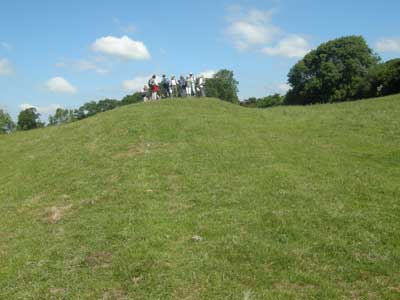
The group on top of one of the dolerite intrusions.
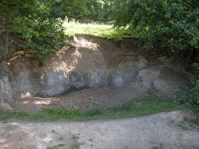
Shale pit, the one further from the dolerite intrusion.
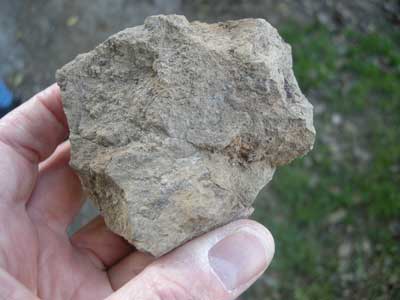
Shale from the further of the two pits.
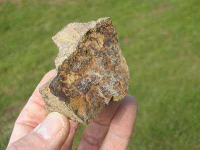
Shale from the closer of the two pits.
A small sliver of rock was extracted from one of the ridges and compared with dolerite blocks found in the external wall of an old bread oven at nearby Cider Mill Cottage. There was a strong similarity although the blocks were greener, probably because lichens had had time to grow on the exposed alkaline surface. Cider Mill Cottage is location 4 on the map.
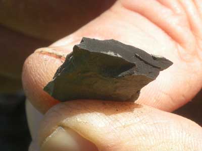
A sliver of dolerite extracted from one of the intrusive ridges.
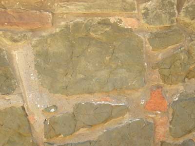
Dolerite block in the walls of Cider Mill Cottage.
2. View from top of Chase End Hill
To the northwest a ridge and vale topography could be seen with limestones forming the hills and softer shales the valleys. These rocks were deposited in a marine environment during the Silurian period about 450 million years ago. By contrast the view to the east was of Triassic rocks forming the rather flat Severn plane with the Jurassic limestone of the Cotswolds escarpment in the distance. The summit of Chase End Hill is location 5 on the map.
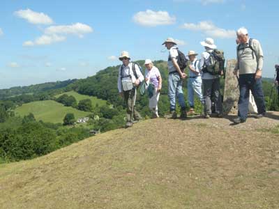
The group on the top of Chase End
Hill, Ragged Stone Hill is behind us to the North.
Note dolerite intrusions in the square field to the left of the summit.
3. Exposure of 680 million-year-old rocks of the Malverns Complex in an old quarry
This quarry is close to the path coming down the south side of Chase End Hill. It can be difficult to find, being hidden by trees. Here we could see igneous intrusions of once molten rock from the pegmatite melt into the pinkish schistose veins of the main rock face. According to David Owen of the Gloucester Geology Trust the original intrusions have been changed by folding and brittle deformation into a variety of shapes known as “boudins” (French for sausage). The characteristic large crystals of a classic pegmatite were not observed. The quarry is at location 6 on the map.
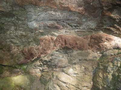
Pegmatite boudins within pinkish schistose veins.
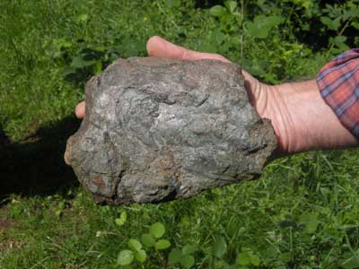
A piece of schist, found at the quarry.
4. Exposures of Bridgnorth Sandstone of Permian age
Good exposures of this sandstone were observed along a section of the road from White-leaved Oak to Bromsberrow. The rock showed extensive dune cross-bedding indicating that it was laid down in arid conditions. This exposure is at location 7 on the map.
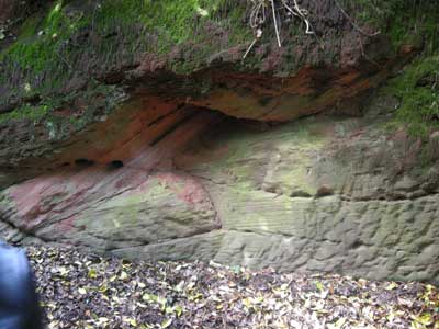
An exposure of Bridgnorth Sandstone, showing the cross-bedding.
5. Complex faulting in the Malverns Complex at the top of Ragged Stone Hill.
Here there was evidence of considerable faulting. This had resulted in a block of Cambrian Sandstone/Quartzite being inserted into the Malverns Complex. This led to the formation of a distinctive wooded coppice growing on the intruded Cambrian rocks. The summit of Ragged Stone Hill is location 8 on the map.
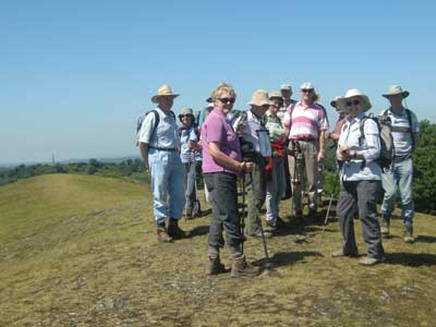
The group on the top of Ragged Stone Hill.