
Day 4, Locality 5
5) Kato Drys, west of the village, viewpoint stop beside the church; .
The first video is a general scan from the viewpoint: MPG-1, WMV-1. The second is of Paul describing the fault bed, with poor sound as usual: MPG-2, WMV-2.
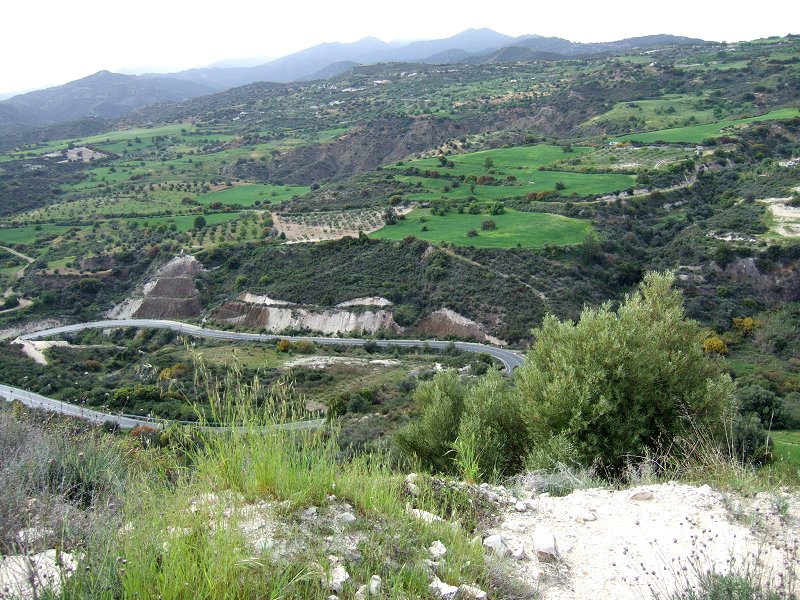
West from this viewpoint we look along the line of the Arakapas Fault Belt. The physiographic expression of this fault belt is the trough we see stretching westwards into the distance. This trough also represents the palaeobathymetry along the submarine transform fault during Cretaceous sea floor spreading. We are thus looking at exhumed sea floor topography from Cretaceous times.

Looking north across the transform, the white hillsides rising up from the valley floor are mainly Palaeocene-Eocene chalks of the Lefkara Formation. These pelagic sediments represent the first stages of cover, over the neovolcanic crust at bathylal depths after the cessation of spreading and volcanic activity.
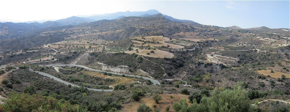
Note the difference in the vegetation between September (above) and April (below). Summer in Cyprus is hot!


![]()
![]()
![]()